MRT Guandu Station →Erziping Tourist Service Station(ErzipingTouristServiceStation)
| Starting-Ending | MRT Guandu Station
→Erziping Tourist Service Station |
|---|
| Planning | [Activity Pillar - 北] → Qingtian Temple → Miantianping → Erzhiping Tourist Service Station
(N:25.152194, E:121.491029)
※Campground registration instructions. Go to Guizikeng Campground |
|---|
| Walking distance | About 13 km |
|---|
| Time | Take 7-8 hoursby foot |
|---|
| Characteristic of Trail | Sunset at Guandu
Bamboo Forest Trail |
|---|


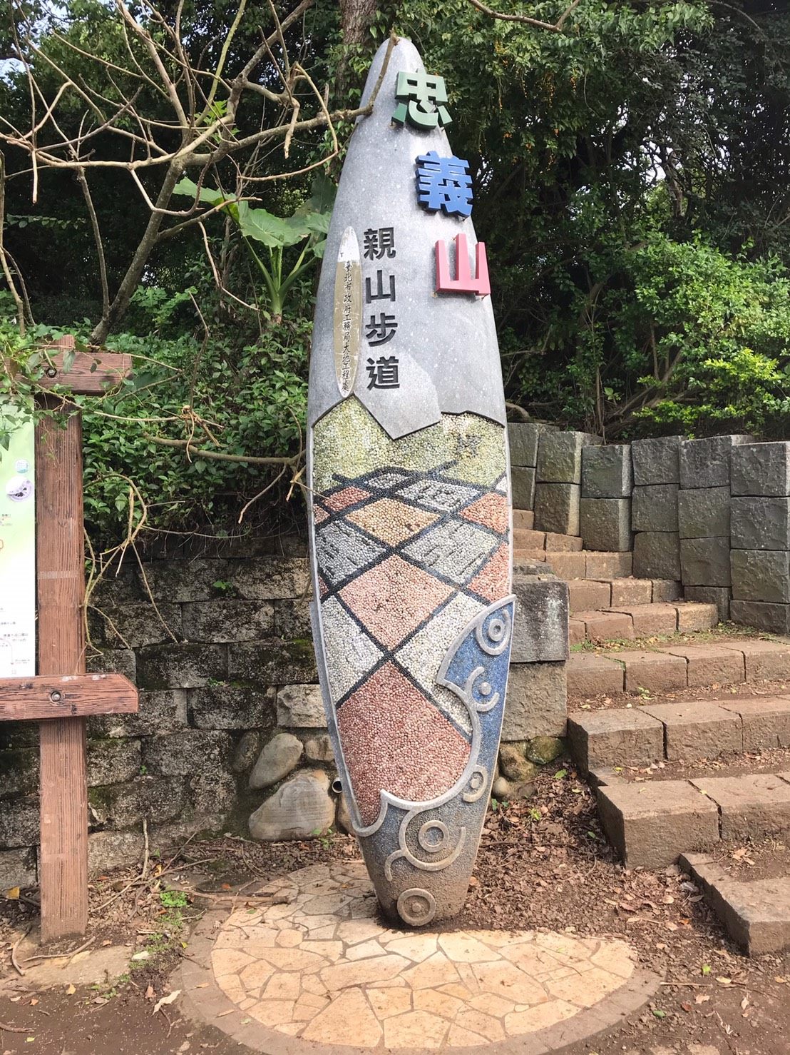
Zhongyishan Hiking Trail
Located at the rear mountain side of Taipei National University of the Arts, the trail is mostly made of stone steps. With dense shade, insects and birds chirping as well as over 90 percent of the trail being secluded, it is a primitive and quiet trail. After climbing to the top, you can see Guanyin Mountain and Tamsui River from afar. Some people say that Guanyin Mountain is the most beautiful when viewed from Zhongyishan.
Guizikeng Geology
The upper layer is formed by igneous rocks erupted from the Tatun Volcano Group, while the lower layer is of sedimentary rocks - Wuzhishan stratum, which is the most ancient stratum in Taipei City, forming an unique and rare “unintegrated geological structure” and making it the best “outdoor geological classroom”.
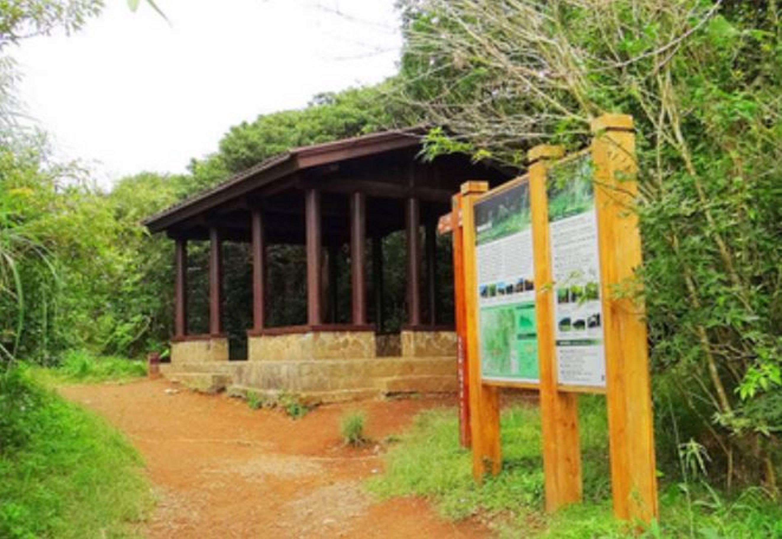
Miantianping
The valley between Miantian Mountain and the western peak of Tatun Mountain, Miantianping, is a former settlement of the Tatun community of the Ke-tagal-an tribe, and the remains of which can still be seen today. The forest along the trail is primitive and quiet, of which the bamboo forest trail is the most renowned.
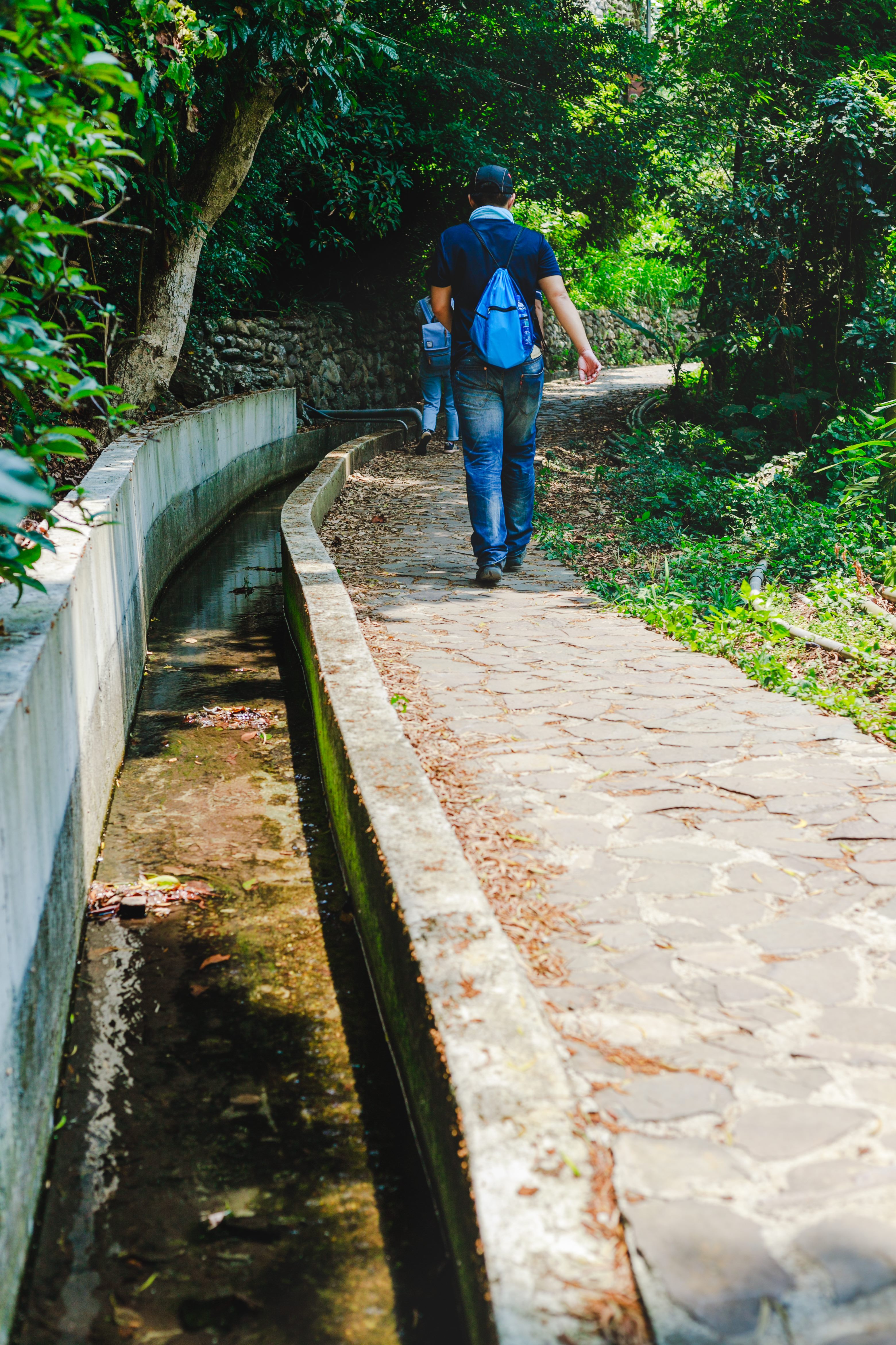
Xiaqingque Trail
With rich ecological resources and excellent views, the trail can be linked to the Guizikeng Trail to explore geographical and ecological marvels, as well as butterfly and bird watching, making it a comfortable parent-child trail for young and old ages alike.