(China University of Science and Technology) →(MRT Linguang Station)
| Starting-Ending | (China University of Science and Technology) →(MRT Linguang Station) |
|---|
| Planning | Section route: China University of Science and Technology Trailhead → Jiuwu Peak[Active Pillar-壯] → Tiaomi temple → Zhongzhengling Anlu Temple → World Villa [Lane 66, Sec. 4, Heping East Road] → Juingung Mountain → Zhongpu Mountain → Fuyang Ecological Park → MRT Linguang Station |
|---|
| Walking distance | About 11 Km (Accumulated 79 km) |
|---|
| Time | Take 5-6hours by foot |
|---|
| (characteristic of Trail) | The four beasts sing together
Million- dollar night view |
|---|


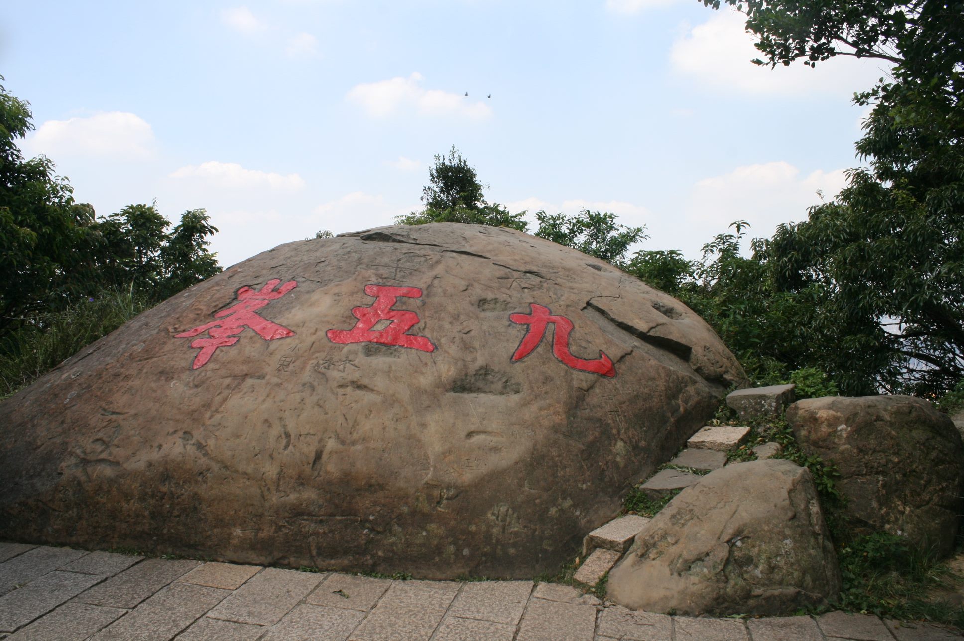
Jiuwu Peak
At 375 meters above sea level, it is the highest point in the Nangang Mountains. There is a boulder at the top of the peak with three inscriptions in red, “Jiuwu Peak”, named after General Yang Sen who climbed to the top at the age of 95 in 1976. In addition, the Jiuwu Boulder is an excellent viewpoint, offering a panoramic view of Taipei City and its surrounding mountains
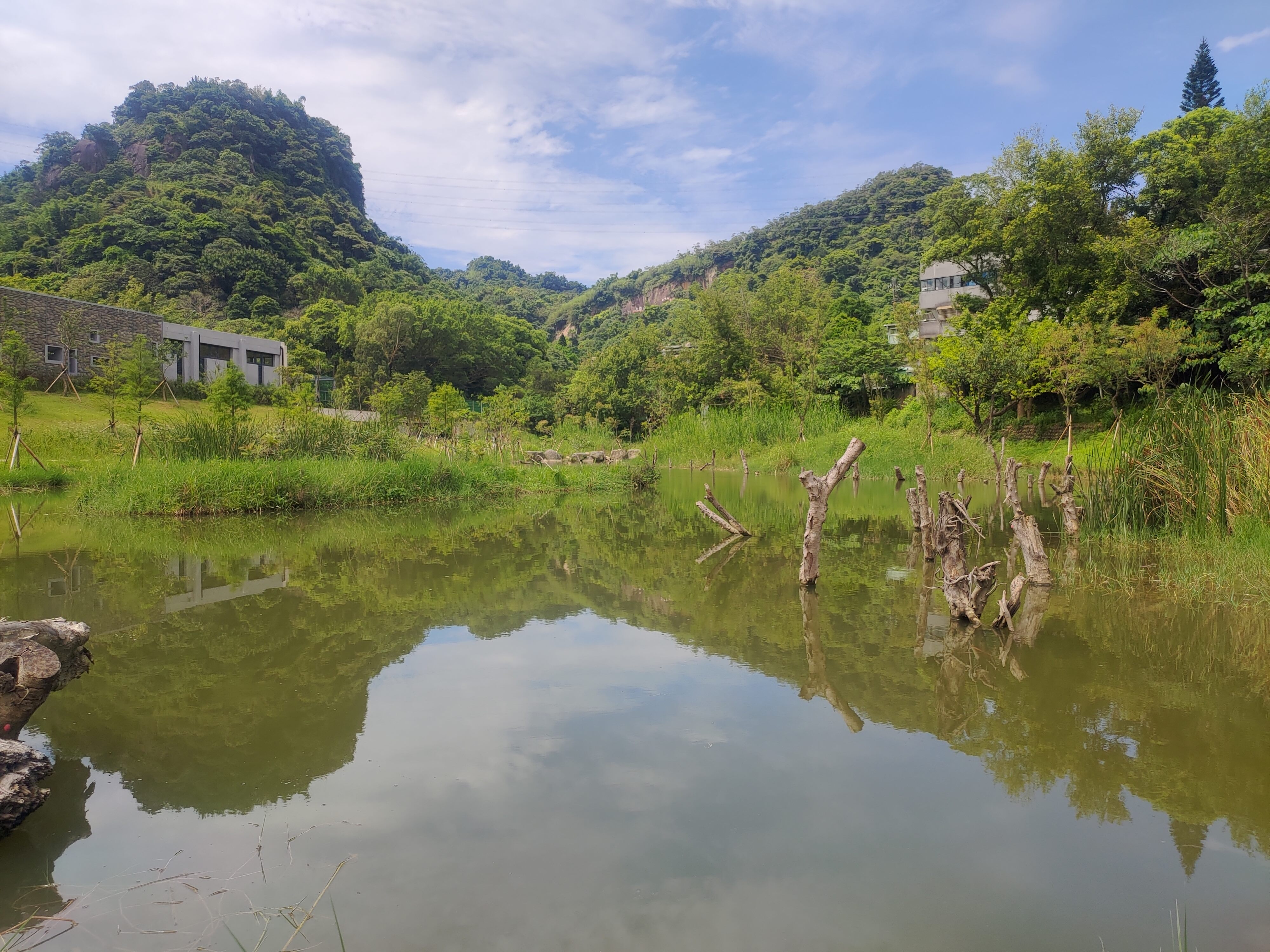
Yongchunpi Wetland Park
Located in Xinyi District, it covers an area of about 4 hectares and is surrounded by elevated wooden trestles that connects to the trails of the Four Beasts Mountain, making it the first urban wetland park that combines environmental education, ecological restoration and historical value.
Fuyang Ecological Park
The park has been converted from a military restricted area to a park, and because of its prolonged isolation from human interference and the government’s planning and design, the park is rich in forests, insects and birds, and retains natural resources such as low-altitude forests and streams that are rarely found in the urban area.
Four Beasts Mountain and Thumb
The Four Beasts Mountain are Tiger Mountain, Leopard Mountain, Lion Mountain and Elephant Mountain respectively, which are famous suburban mountains in Xinyi District of Taipei City. Following the ridges of Nangang Mountain, Thumb Mountain is reached, which is named after its resemblance to a thumb pointing towards the sky. After reaching the top, you can enjoy a 360 degree panoramic view of the Taipei Basin.